Travels in Namibia - Caprivi
Although 90% desert or semi-desert, Namibia has, surprisingly, six perennial rivers, five in the far north.
Namibia’s Six perennial rivers
One of the fascinating aspects of Namibia’s geography, is that this dry, desolate , desert-filled country is host to no less than six large, perennial rivers. None of these rivers originate in Namibia and all six form some part of Namibia’s borders.
Because they are all border rivers, the impact of these rivers on the country are relatively modest. The other fascinating fact about these rivers is that only three ultimately flow into an ocean, while the other three all do a disappearing act into the desert sands of Botswana.
These six rivers are:
1. The Orange River. Arises in the mountains of Lesotho, flows through a substantial portion of South Africa, before forming Namibia’s southern border with South Africa. It flows west into the Atlantic Ocean.
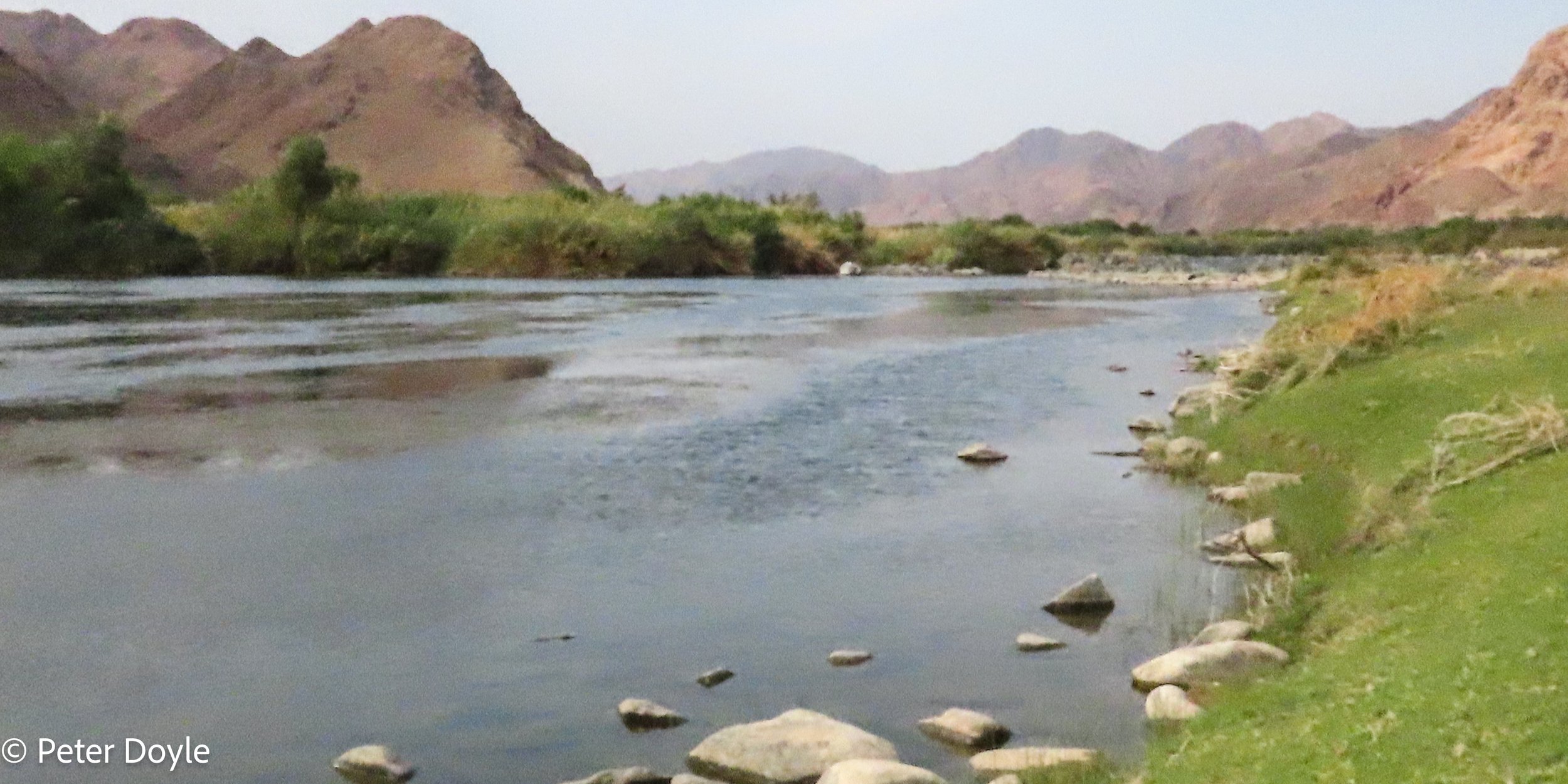
The Orange river with Namibia on the opposite bank.
2. The Kunene River,. Arises in Angola, forming a relatively small part of Namibia’s northern border with Angola. It flows west into the Atlantic Ocean. We did not see the Kunene river on this trip.
3. The Kavango River. Arises in Angola, forms a large portion of Namibia’s northern border with Angola. It flows east along the border before turning south again and flows a short distance across the Caprivi. Then it flows into Botswana (where its name changes to the Okavango river) and forms the incredible Okavango Delta. Its waters never reach the sea.
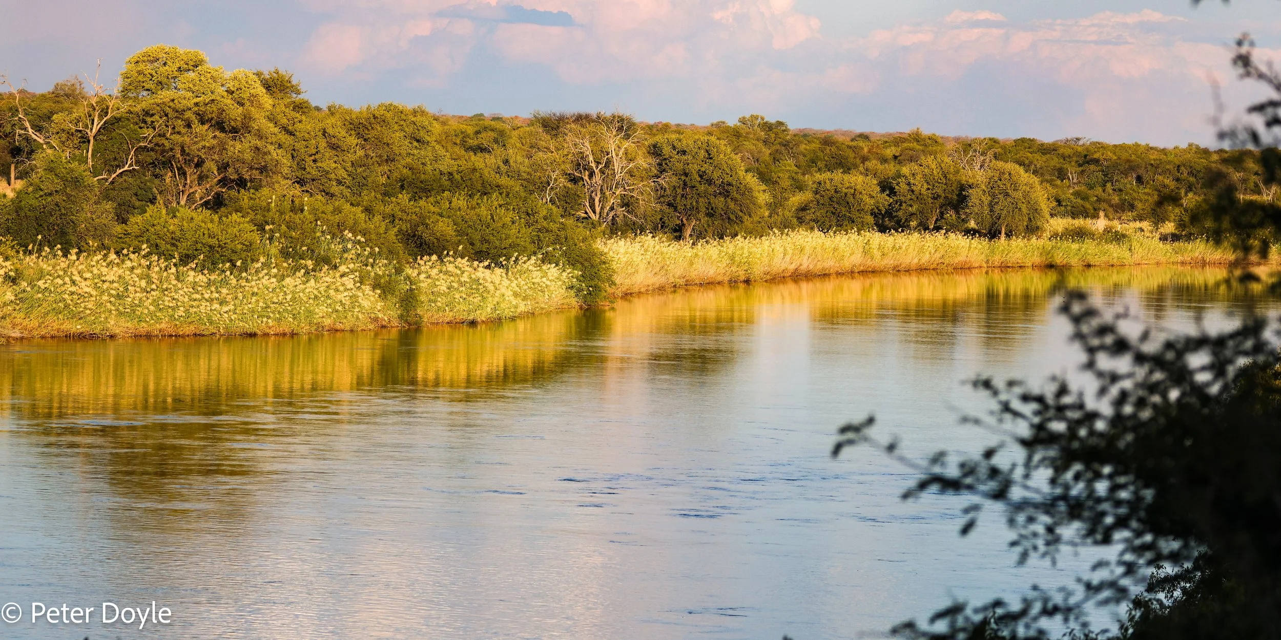
The Kavango river with Angola on the opposite bank.
4. The Kwando River. Arises in Zambia and Angola and flows south, directly across the Caprivi, before flowing into Botswana. It flows into the Linyati River in Botswana, before disappearing into the Linyati marshes. Its waters never reach the sea.
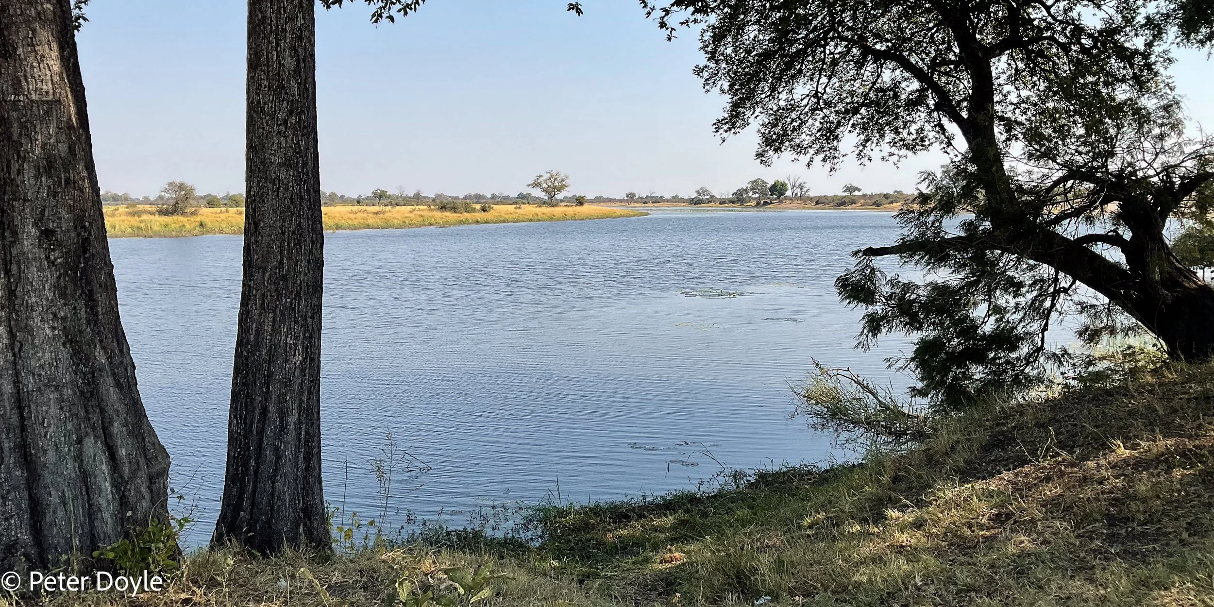
The Kwando River, with Botswana on the opposite bank.
5. The Zambezi River. This mighty river arises in Zambia and forms Namibia’s most easterly border with Zambia at the end of the Caprivi. It then forms the border between Zambia and Zimbabwe. It goes over the spectacular Victoria Falls, through the falls gorge and then goes on to fill Lake Kariba, the largest man-made lake in the world. It flows east , through Mozambique, into the Indian Ocean.
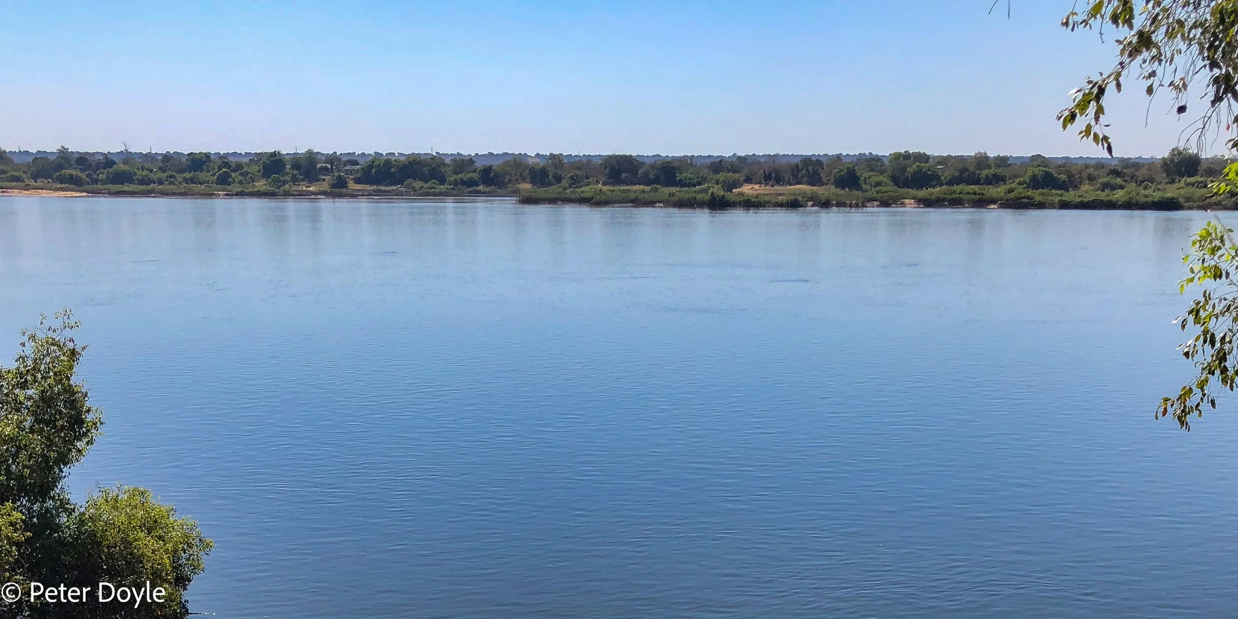
The Zambezi river with Zambia on the opposite bank.
6. The Chobe River. To be honest, I am not always sure where the Chobe River comes from, or where it goes to. It forms a small part of Namibia’s border with Botswana in the far north east, along a strip of the southern Caprivi. Its behaviour is pretty much governed by the level of the Zambezi River. When the Zambezi water level is high, the Chobe River flows into Lake Liambezi in Botswana, and ultimately, the Linyati river and so its waters end up in the Linyati marshes and never reach the sea. But it seems when the Zambezi is low, the Chobe reverses its flow back into the Zambezi and therefore some of its waters will reach the sea as part of the Zambezi. But maybe somebody can enlighten me with a better explanation. But still, it is a fascinating river.
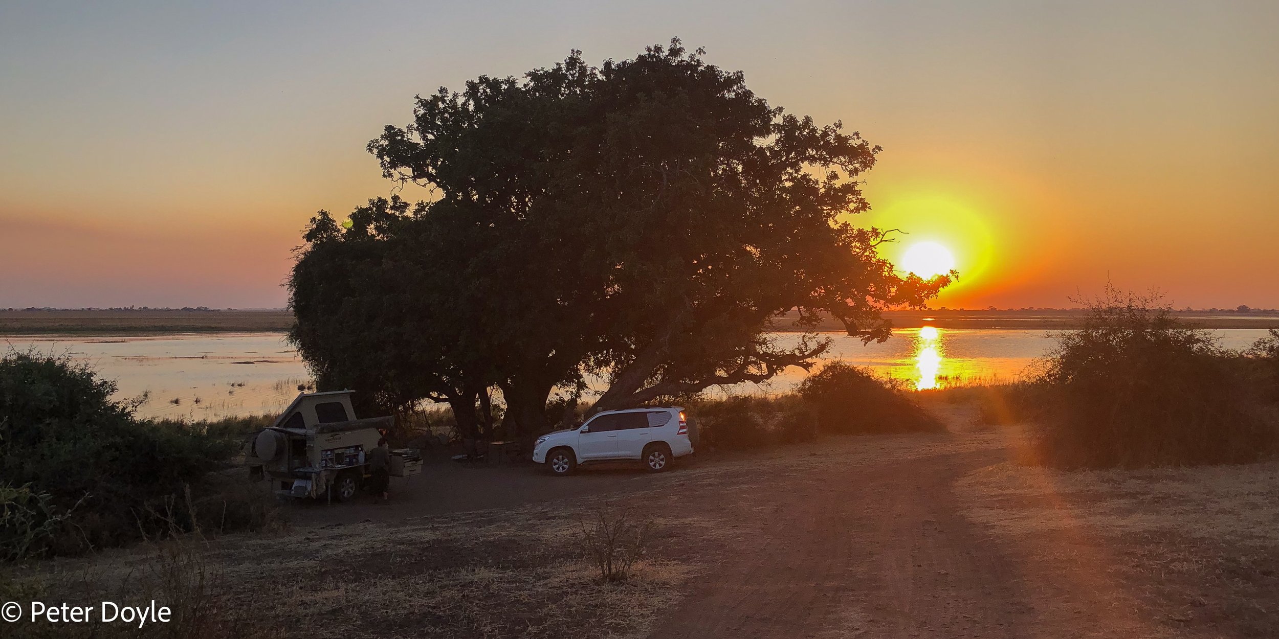
The Chobe river from our campsite in Botswana with Namibia on the opposite bank
Caprivi
Also known as the Caprivi Strip and now officially called Namibia’s West and East Zambezi Regions. Caprivi is a strip of land, belonging to Namibia, but sticking out like a limb between Zambia in the north and Botswana in the south. It is about 450km long and less than 100 km wide; and 32 km at its narrowest!
The history of Caprivi is a colonial one, full of intrigue. Germany had two colonies in Africa … German South West Africa and German East Africa; now Namibia and Tanzania respectively. Germany acquired the Caprivi strip in 1890 from Great Britain, in order to have access to the Zambezi river, in a failed attempt to open up a trade route to the east. Legend has it that Great Britain did not mention that the downstream Victoria Falls made the river not navigable. The strip of land was named after General Leo von Caprivi, who was German Chancellor at the time.
Our Route & Campsites in Caprivi
Our interest in the perennial rivers stems from the profound impact that they have on the habitat and bio-diversity of the region; and therefore on the birds. This includes especially the reed-beds, forests and grasslands, which in turn hosts an incredible range of life. It is therefore not surprising that 90% of the Namibian population live in the north.
Our route in the Caprivi was dictated, in part, by the desire to follow four of the large rivers: the Kavango, Kwando, Chobe and Zambezi rivers. We spend nearly 4 weeks traversing the length and breadth of Caprivi, staying in a number of campsites, always along the rivers:
Taranga Safari Lodge on the Kavango river, 40km west of Rundu, just before Caprivi. It is an excellent lodge and camp site. Excellent birding around the camp and along the river. Taranga is particularly well-known amount southern African birders as the spot to find the single vagrant male Ross’ Turaco (…), that has made its home there, well out of its normal range further north in Africa.
Shamvura, on the Kavango river, with Mark & Charlie Paxton, learning about the birds, trees, plants, conservation, community work and of course, the river itself.
Riverdance on the Kavango river. At this point the river is fast-flowing, and the soft sound of the river is background music to your stay there, although it is never loud and obtrusive.
Nunda River Lodge. An excellent camp, on the Kavango river, where Cameron and his team are really good at what they do and friendly and hospitable. From Nunda we did a birding boat trip with Basse, a fantastic bird guide, This was definitely one of our favourite camps on the whole trip, even though it is quite a busy camp, compared to some others.
Mahangu Lodge. Although we did not stay there, we had one of our best birding days at Mahango, birding around camp and on the flood plains next to the camp. It has a great position, just across the river from the Core Buffalo Area of the Bwatwata NP.
Mukolo Camp on the Kwando river. This is a great camp, very well run by Hennie & Veronica although we were there for 7 nights, the time went very quickly as there was a lot to explore up and down the river and into the national parks.
Caprivi Houseboat Safaris on the Zambezi river near Katima Mulilo. From there we drove down towards the confluence of the Zambezi and Chobe rivers, near an area called Luhonono. This is the most north-easterly settlement in Namibia. The attraction of this road is that it goes through some of the Zambezi flood plain and the birdlife is excellent in the water pans on either side of the road.
Chobe National Park (on the Botswana side of the river). I will talk more about Chobe NP in a story on Botswana; save it to say that it is one of our very favourite national parks in southern Africa, which we have visited several times before. The park is dominated by its proximity to the Chobe river and the campsite is right on the river.
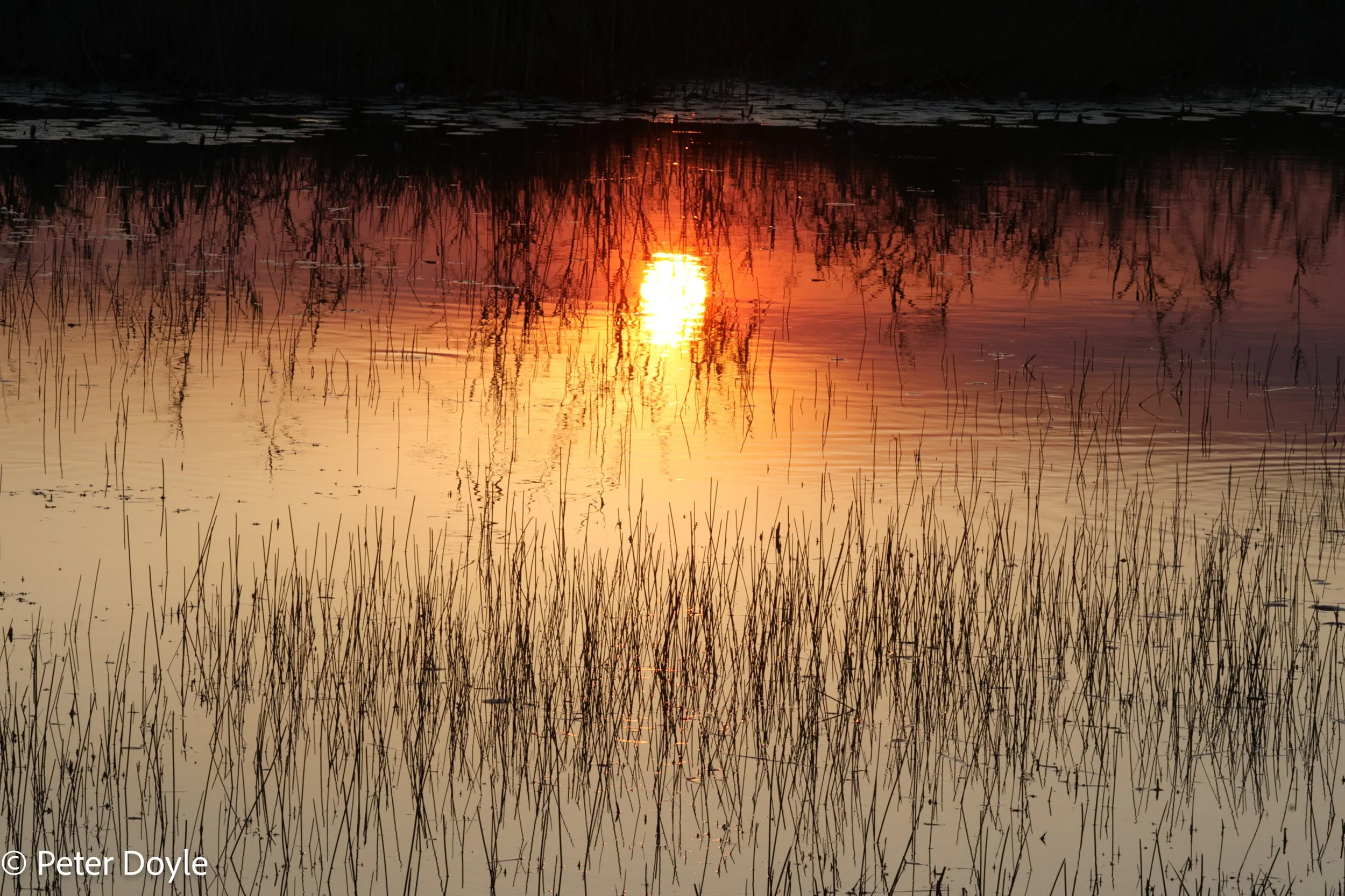
The Kwando river taken from our campsite at Mukolo camp
National Parks in Caprivi
Bwabwata National Park straddles the Kavango river right down to the Botswana border. At this point the Kavango is starting to develop a wide flood plain, with a lot of big game and birds, especially waders, storks, heron, cranes, etc. present along the river. With all the rivers, there are many big crocodiles, of course.
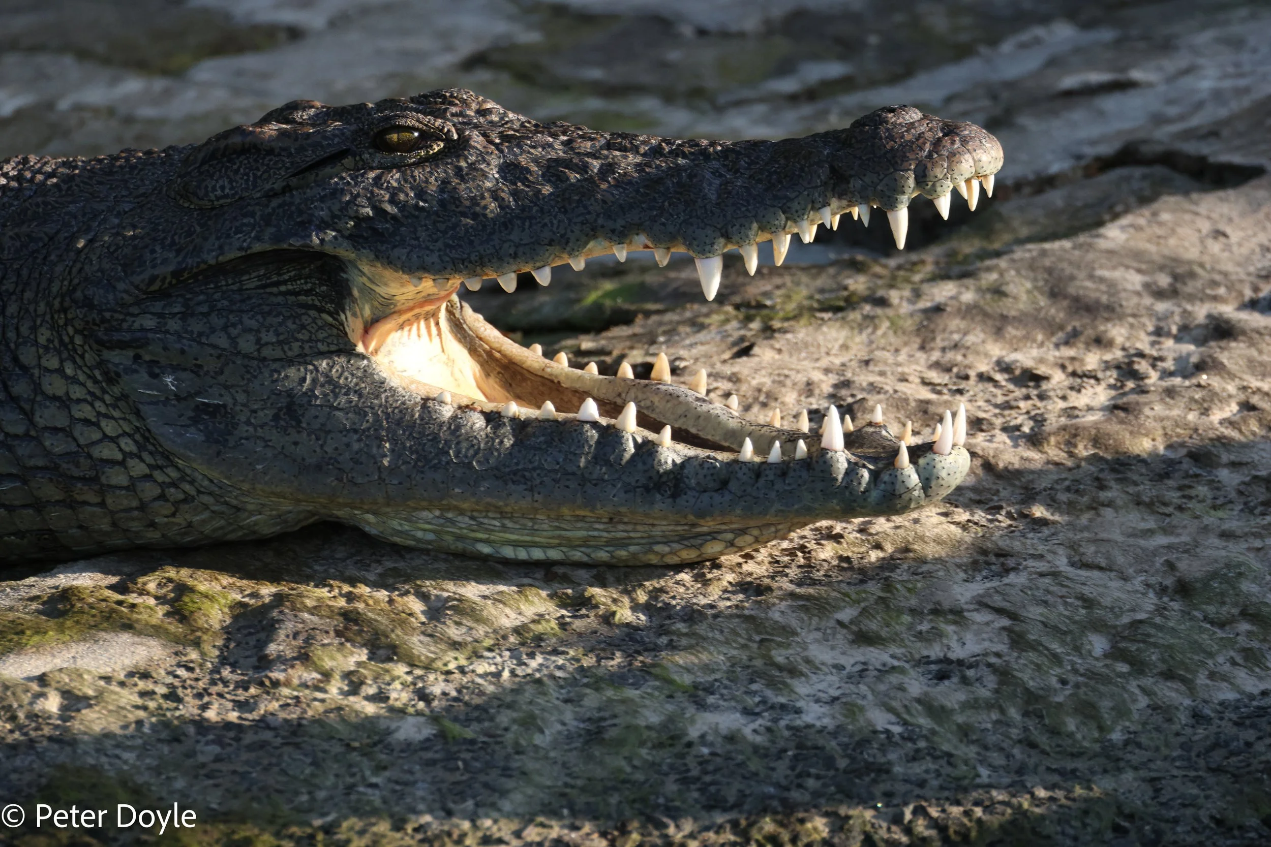
Nile Crocodile
Mudumu National Park is about 30km from Kongola, where you first cross the Kwando river. While a tarred road runs through Mudumu, all turn-offs into Mudumu are immediately into sandy twee-spoor tracks, some of which get into very deep sand. You could manage without low range, but will definitely need high clearance and deflated tyres. The game seen in Mudumu is not significant in terms of quantity, but excellent variety and sightings, both along the Kwando river flood plain and at the single waterhole deep into the Mudumu woodlands. The highlights were seeing a big herd of Roan antelope at the waterhole and a male and female Situatunga. Birding was excellent with again several new lifers for us.
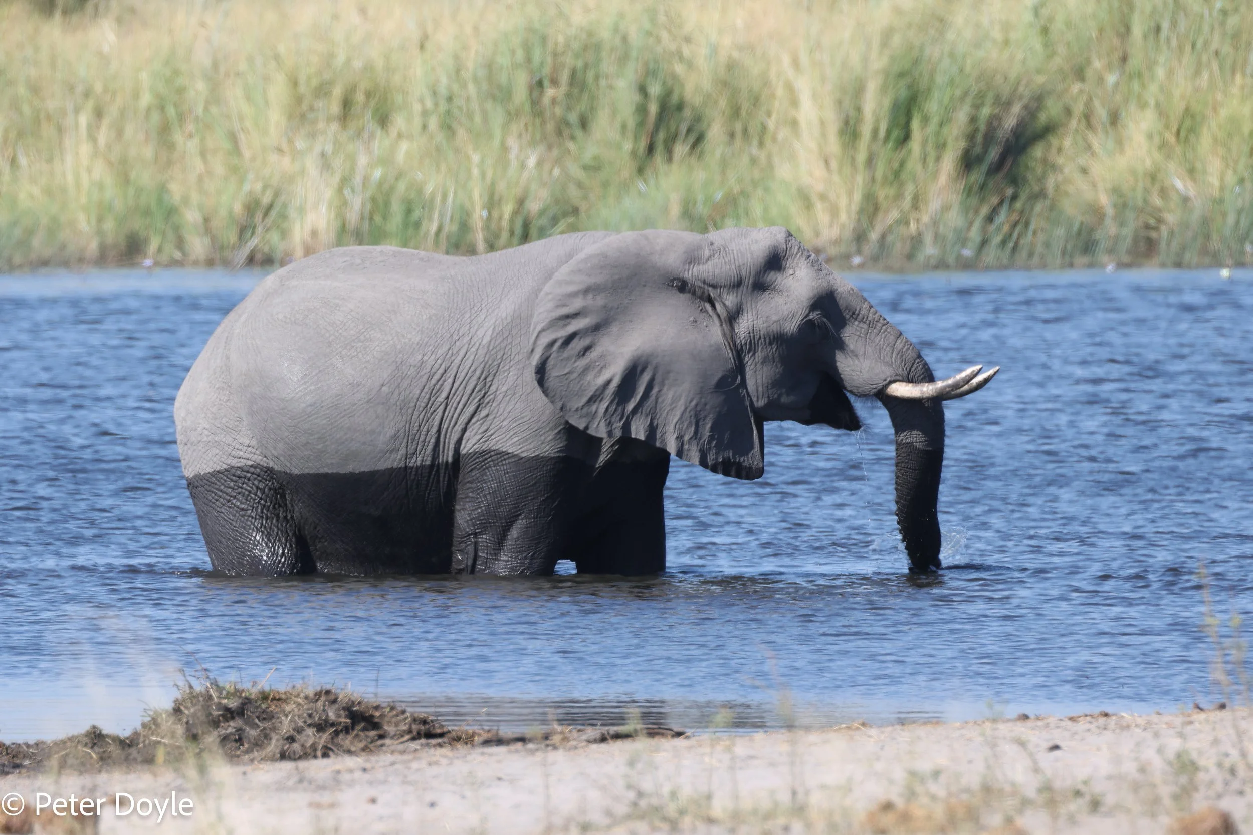
Nkasa Lupula National Park
We also drove down into the Nkasa Lupula NP. It is effectively a peninsula that pushes down into the “v” formed by the Kwando and Linyanti rivers. The park is beautiful, reminding us of Moremi, which is not surprising because the Okavango Delta in Botswana starts just on the other bank of the river. It feels wild, and isolated, in the park, and we met only one other vehicle in the park. Admittedly, we did not see a lot of game in Nkasa, as we kept on the main tracks and did not venture too near the edge of the swamps, but we did see elephant, warthog, lion spoor, lechwe, etc. Everything would look very different in summer with the rains and there was a lot of evidence of vehicles that had been stuck in the mud before.
Habitat and people
All the time in Caprivi, we were birding in four distinctly different habitats:
Woodlands with beautiful old teak, leadwood and mopane trees.
Riparian forests, channels, reed-beds, swamps and floodplains next to the rivers. We did several boat trips on the Kavango and Kwando rivers, which were excellent for birding in this habitat.
Grasslands and scattered woodland.
Human settlements. Perhaps not surprisingly, because of the rivers, this region has the highest population density in Namibia, but the settlements and the wild places seem to co-exist very well; and the birdlife is still good in these areas.
Driving on the B8 through Caprivi is very interesting, as you pass by many villages, people, children, schools, bicycles, donkeys, goats, cattle, shebeens, spazas, traders, taxis and traffic. But generally we found most people well-behaved on the roads and the driving was easy going. It was like driving through one long village.
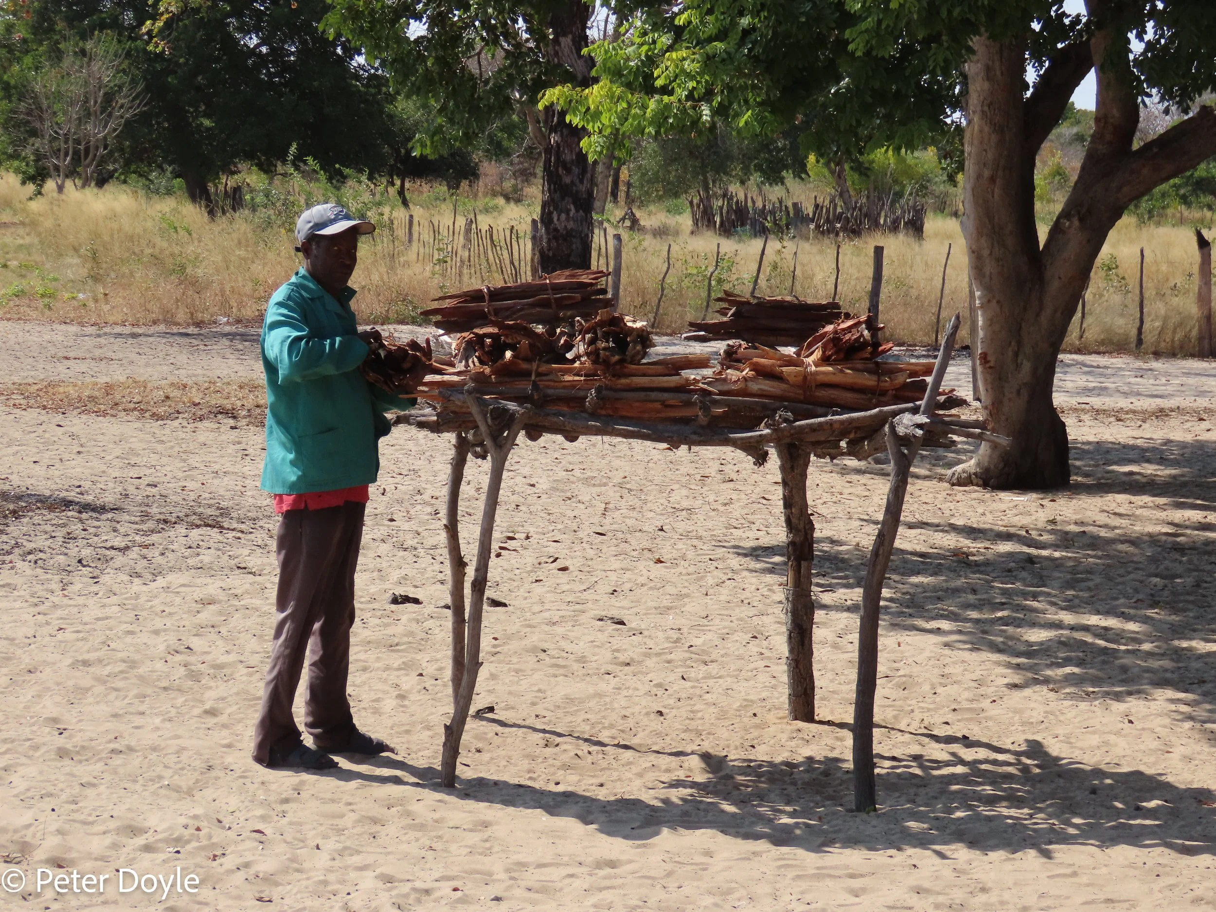
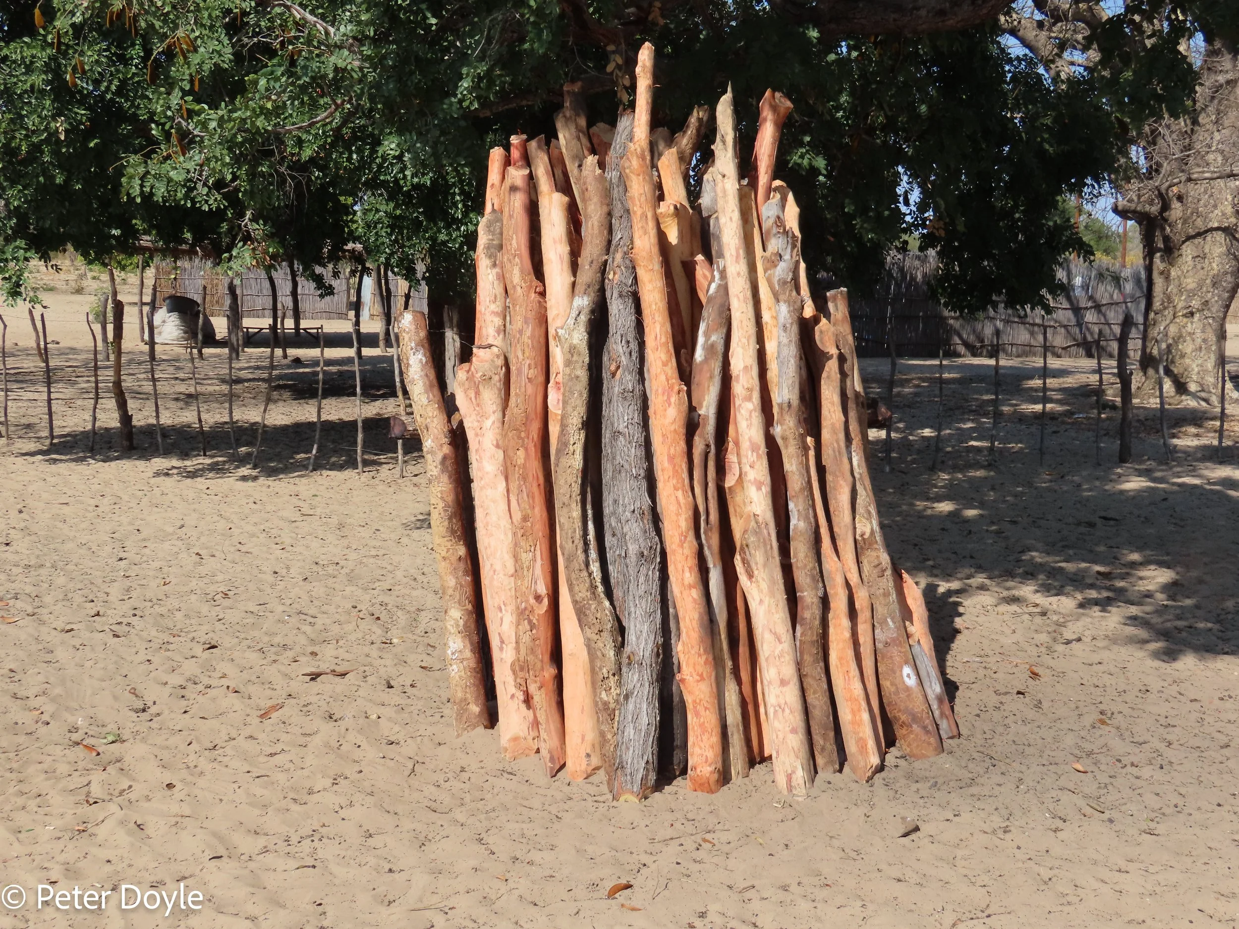
We enjoying talking to and meeting the local people. One very memorable person was Nicolaas, who sold us firewood somewhere along the B8. So, we talked about Nicolaas’ family and his crops and his wood. He asked where we were from and why we came there. And we told him about the birds we were looking for in that habitat and why. We showed him photos in Robert’s of the Rufous-bellied Tit that we wanted to see. He invited us to walk with him, looking at the trees around his homestead, what they are called and what they are useful for. And we told him about birds that we saw and their place in the wild. All thess conversations were in a mixture of English, Afrikaans and a healthy dose of sign language.
We never found that bird, but we left with good memories, probably for all of us.
But my favourite birding story from this trip: One day along the Okavango flood plain, at Mahangu, we were watching and photographing some wonderful displaying behaviour of a group of 4 or 5 male African Snipe. Along comes a local man on his way home to his village. As always, we stop to chat. What’s up? How is the fishing? And then the questions: “Where are you from?” … “South Africa”; then “What are you doing?” … “Well, we are watching these birds”. Then there was a very long, thoughtful pause. Eventually the man says “So, don’t you have any birds in your own country?” What could I say?
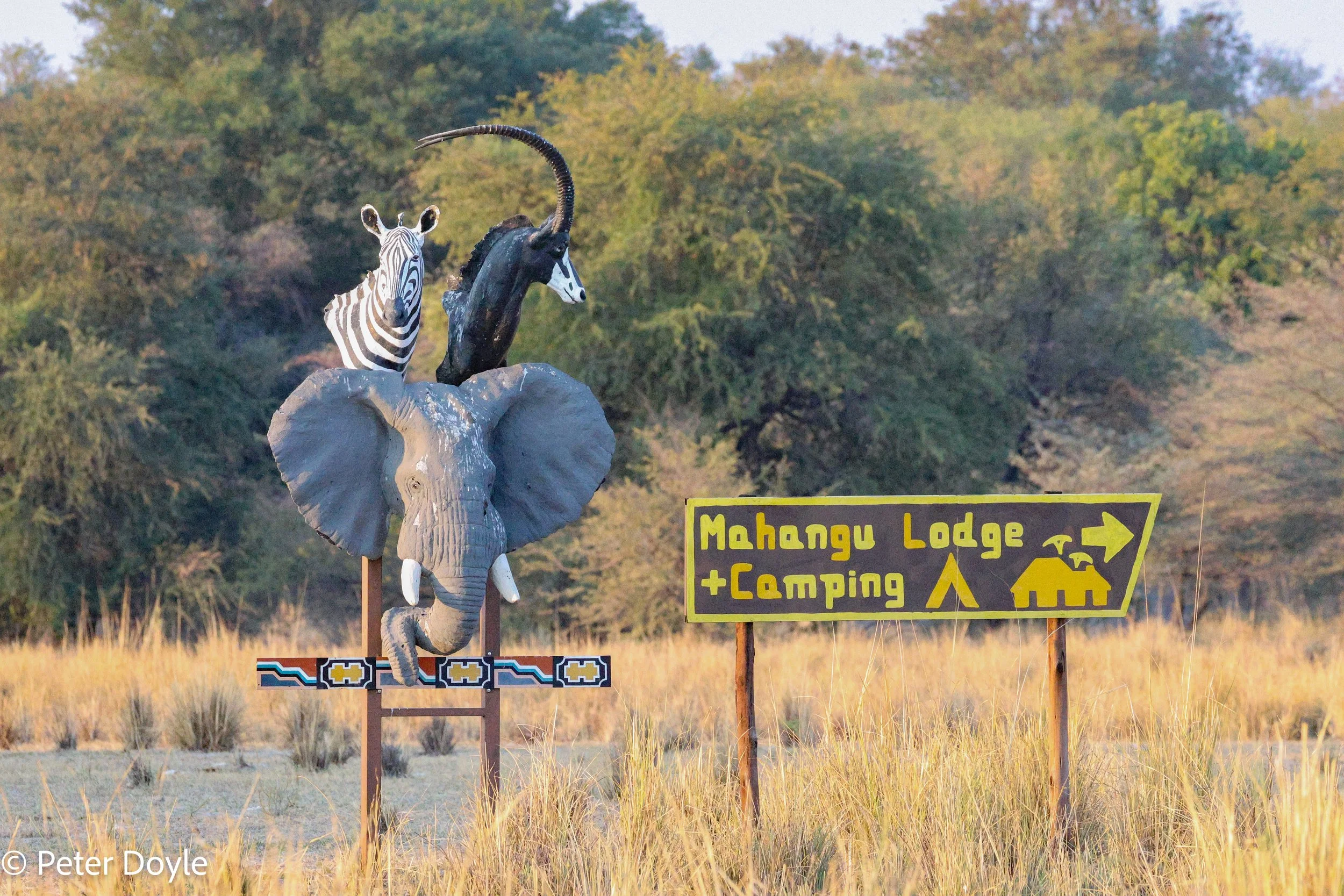
Maps
We do almost all our traveling using maps. I use a GPS purely for back-up; i.e. when I am lost! On this trip we used mostly the two excellent maps of Namibia and Botswana from INFOMAPS, Let’s Explore Africa series. I also used the Tracks4Africa map book for overall route planning.
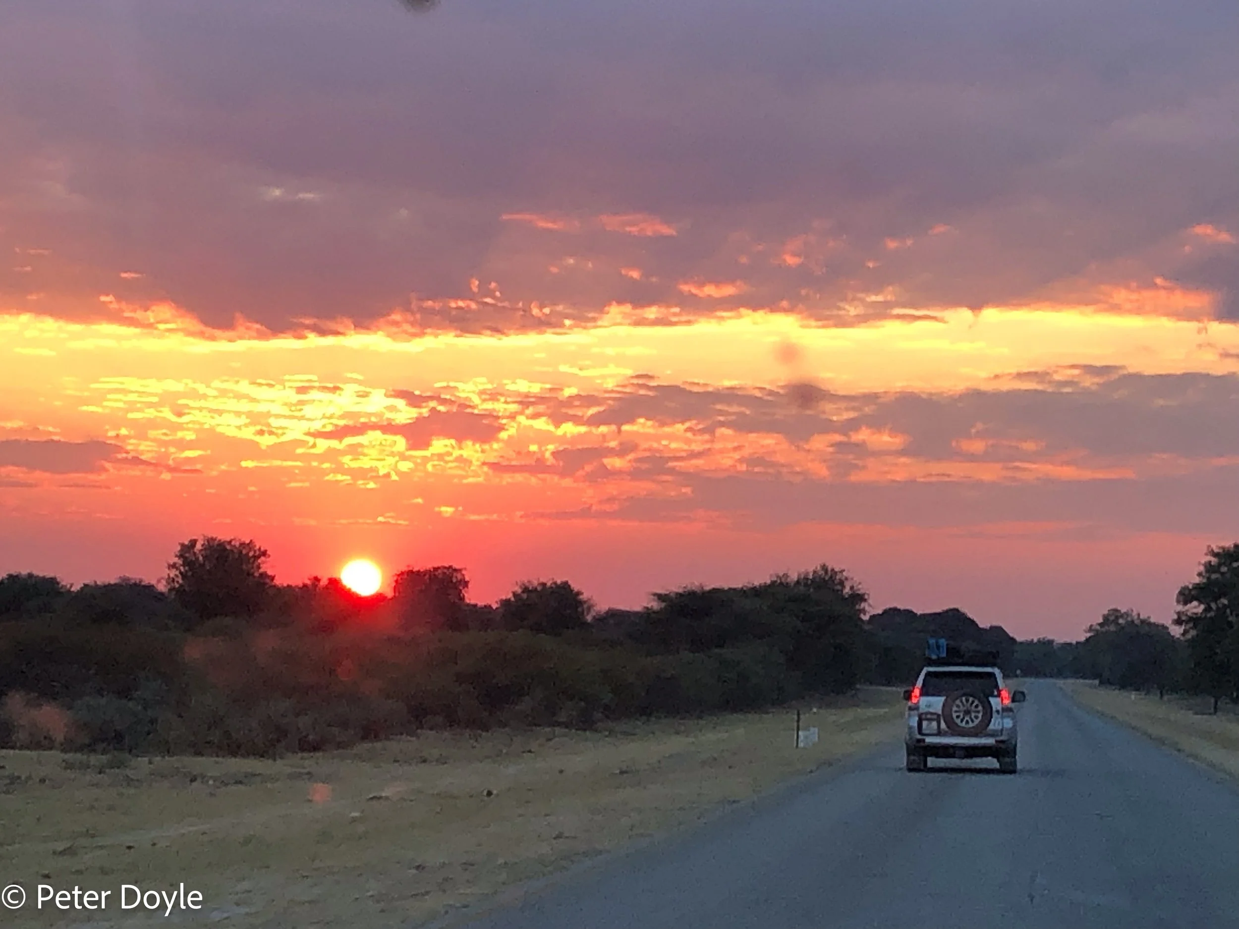
Driving on the B8 near Divundu.
But when you enter most of the National Parks in both Namibia and Botswana, don’t expect a nice map of the park as part of your welcome pack for paying your park fees. There aren’t any maps. Sometimes there will be some rummaging around in drawers looking for maps, but they are never in stock. Sometimes at the gate somebody can show you a photostatted, hand-drawn map. If the sun is shining especially brightly, you may even wrangle a photostatted copy of that photostatted map. Oftentimes the best you can do is take a photograph of the said map.
Once at Mudumu, after we had been through the park gate for the third day running, the gentleman at the gate kindly gave us his own map, which had been pinned on his wall. And don’t expect to rely on signage in the park itself, as it mostly non-existent or illegible.
But, to be honest, none of this really matters, because it all gives you the feeling that you are visiting the really wild places and that you are actually exploring the parks. That is why you come here. I prefer this wildness to something that could resemble a visit to Disneyland. But just don’t expect a map … bring your own map … or talk to somebody that has been before.
Birding
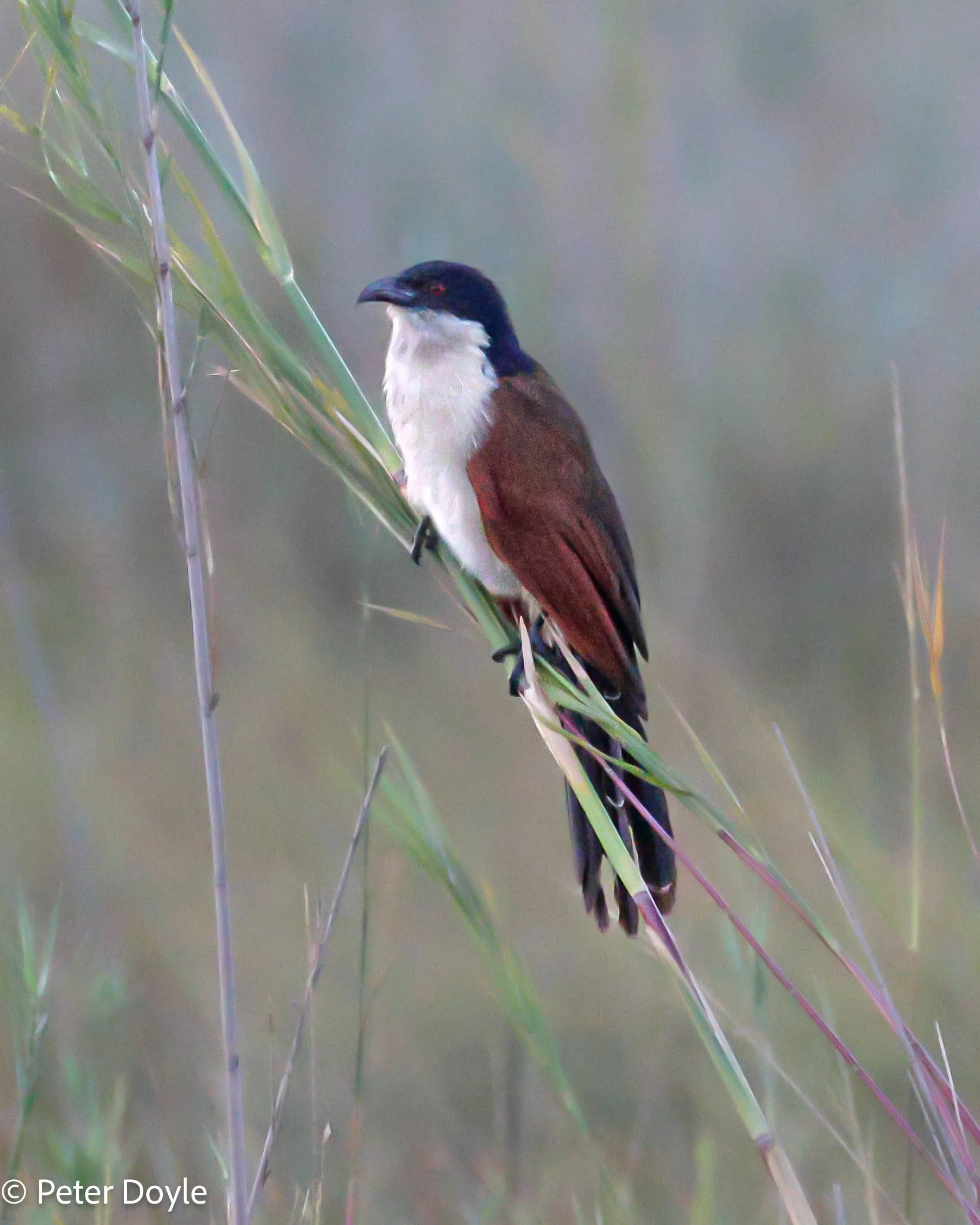
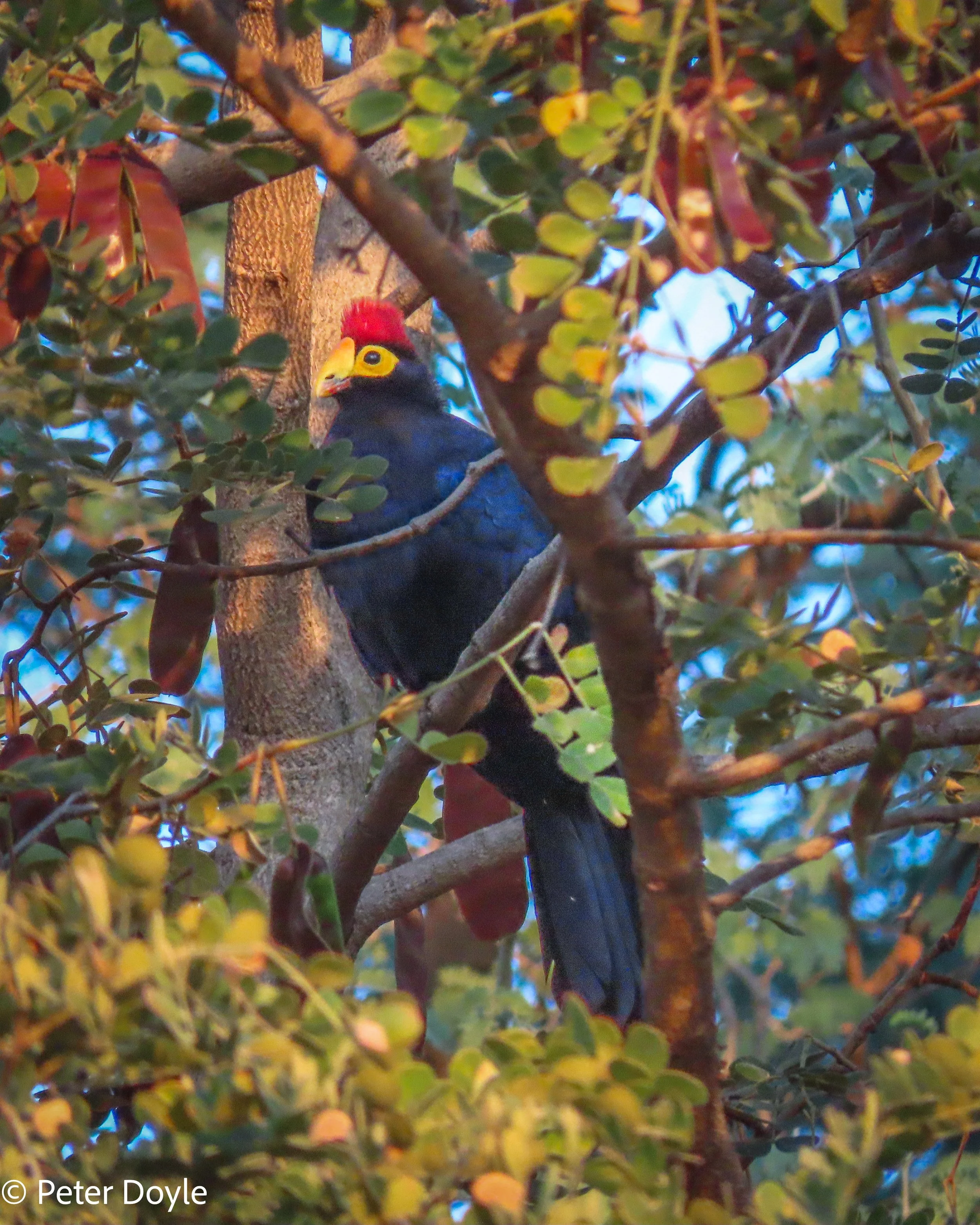
Coppery-tailed Coucal (Centropus cupreicaudus). Ross’ Turaco (Tauraco rossae)
Birding in all these diverse habitats, with all that water in the rivers nearby, was fantastic. Over 400 bird species have been recorded in Caprivi. Some of our specials, mostly lifers, included:
Cisticolas: Luapula & Tinkling & Chirping
Babblers: Hartlaub’s & Bare-cheeked & Black-faced & Pied
Turaco: Schalow”s & Ross’
Heron: Black & Rufous-bellied & White-backed Night
African Snipe
Allen’s Gallinule
Swamp Nightjar
African Skimmer
Shelley’s Sunbird
Arnot’s Chat
Openbill
Lesser Moorhen
Slaty Egret
Dickinson’s Kestrel
Swamp Boubou
Coppery-tailed Coucal
Wattled Crane
Dark Chanting Goshawk
Pink-Backed Pelican
Northern Grey-headed Sparrow
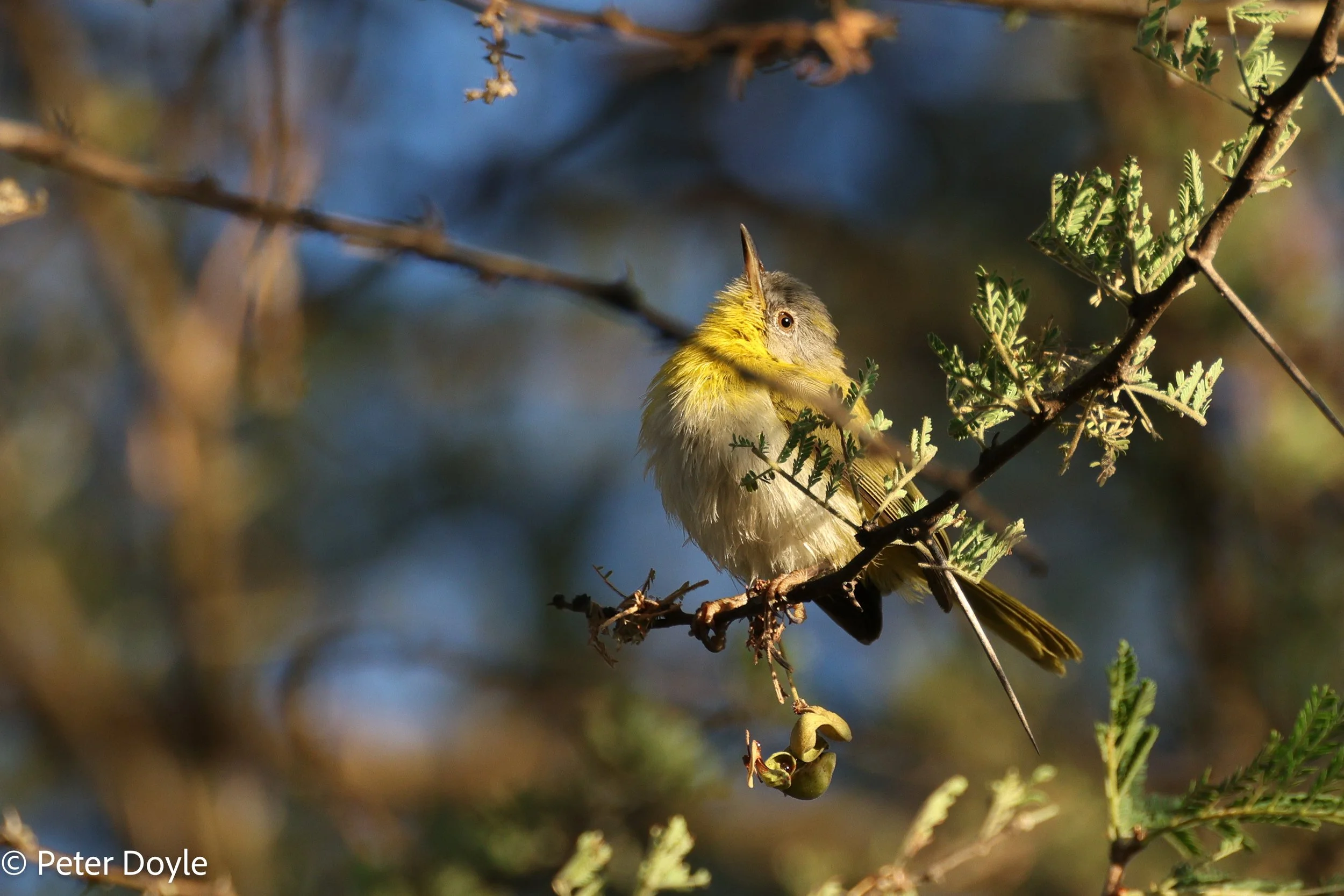
Yellow-breasted Apalis - Female (Apalis flavida)
Cisticolas
Cisticolas are, for me, some of the most difficult species to identify. Some people (Elle) can identify them by call, but I generally can’t hear them. The other main identifier is habitat … I can do that! These three Cisticolas, all endemic to Caprivi and northern Botswana, can often be found in very close proximity to one another. But their habitat is so specific, it makes identification easier. These Cisticolas and their habitat are:
Luapula: Keeps low in reedbeds and rank growth alongside rivers, marshes and ponds.
Chirping: Often perches on top of papyrus and other tall vegetation near water.
Tinkling: Semi-arid savanna, sandy areas with stunted Terminalia and scattered bushes between clearings and dry woodland.
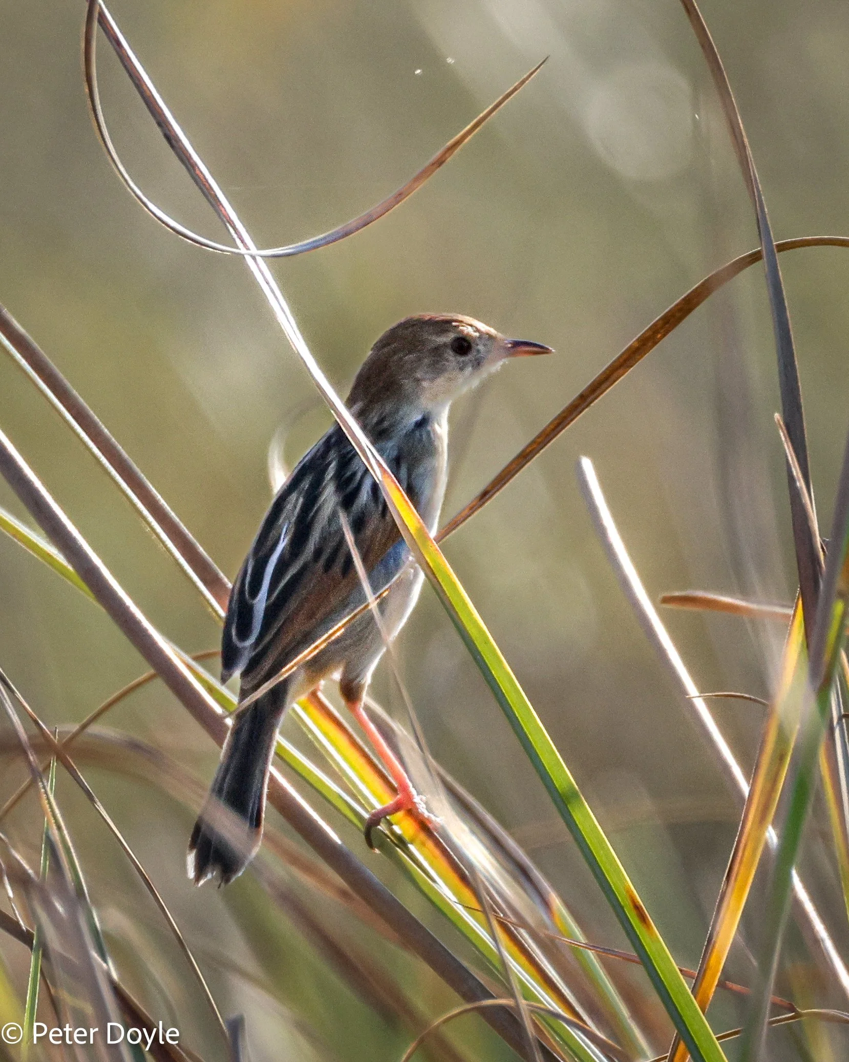
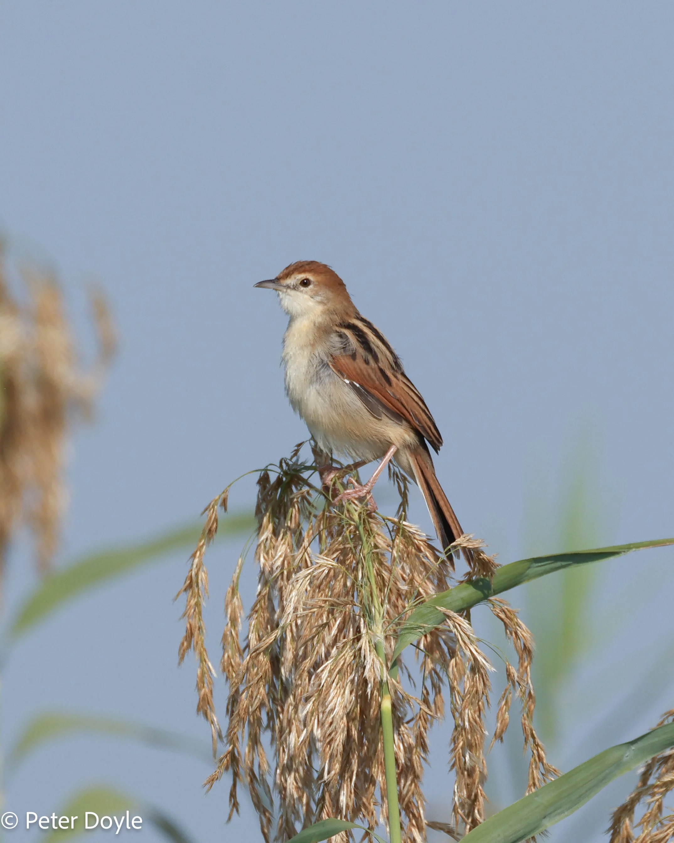
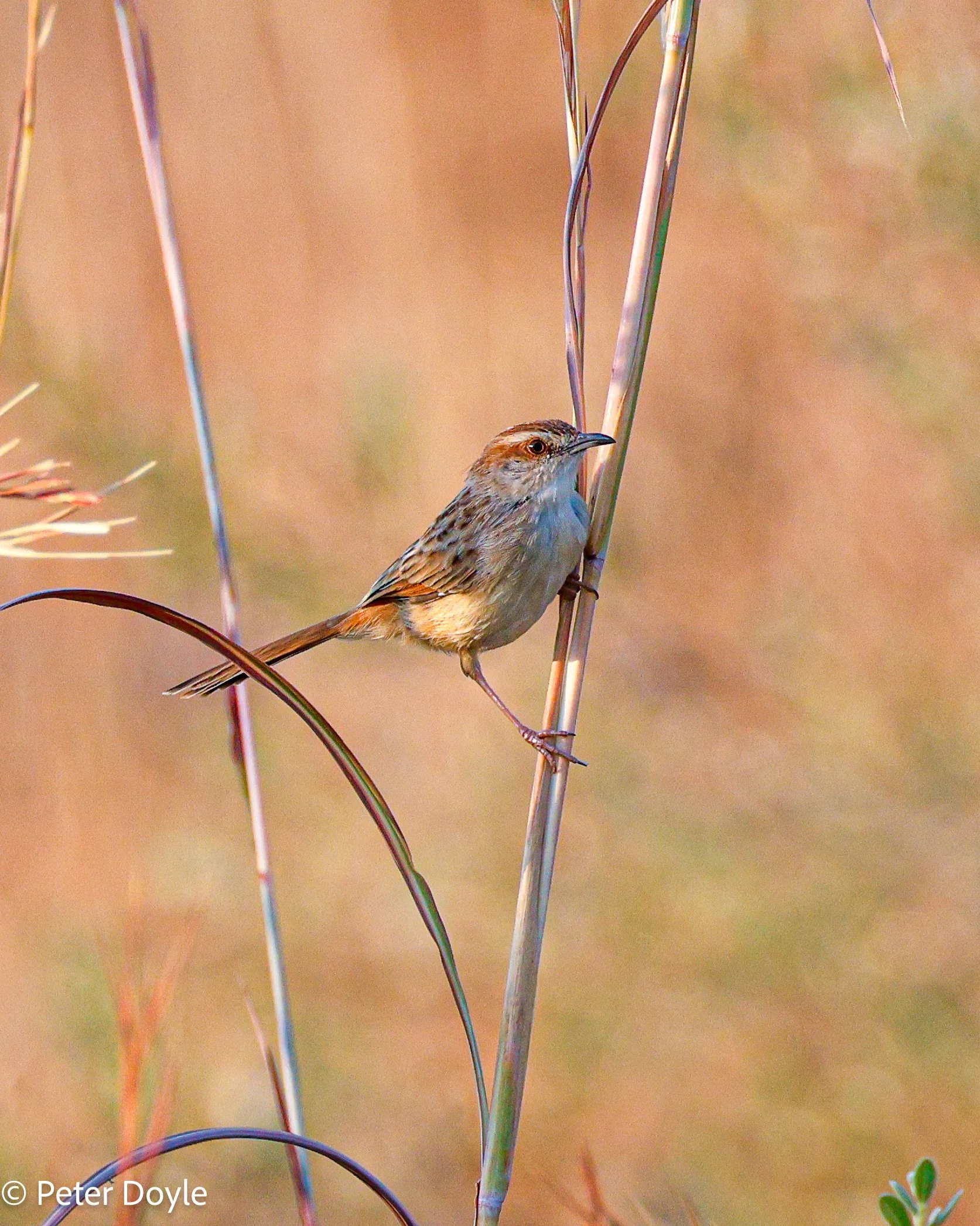
L to R: Luapula Cisticola (Cisticola luapula) Chirping Cisticola (Cisticola pipiens) Tinkling Cisticola (Cisticola rufilatus)
Bird Gallery
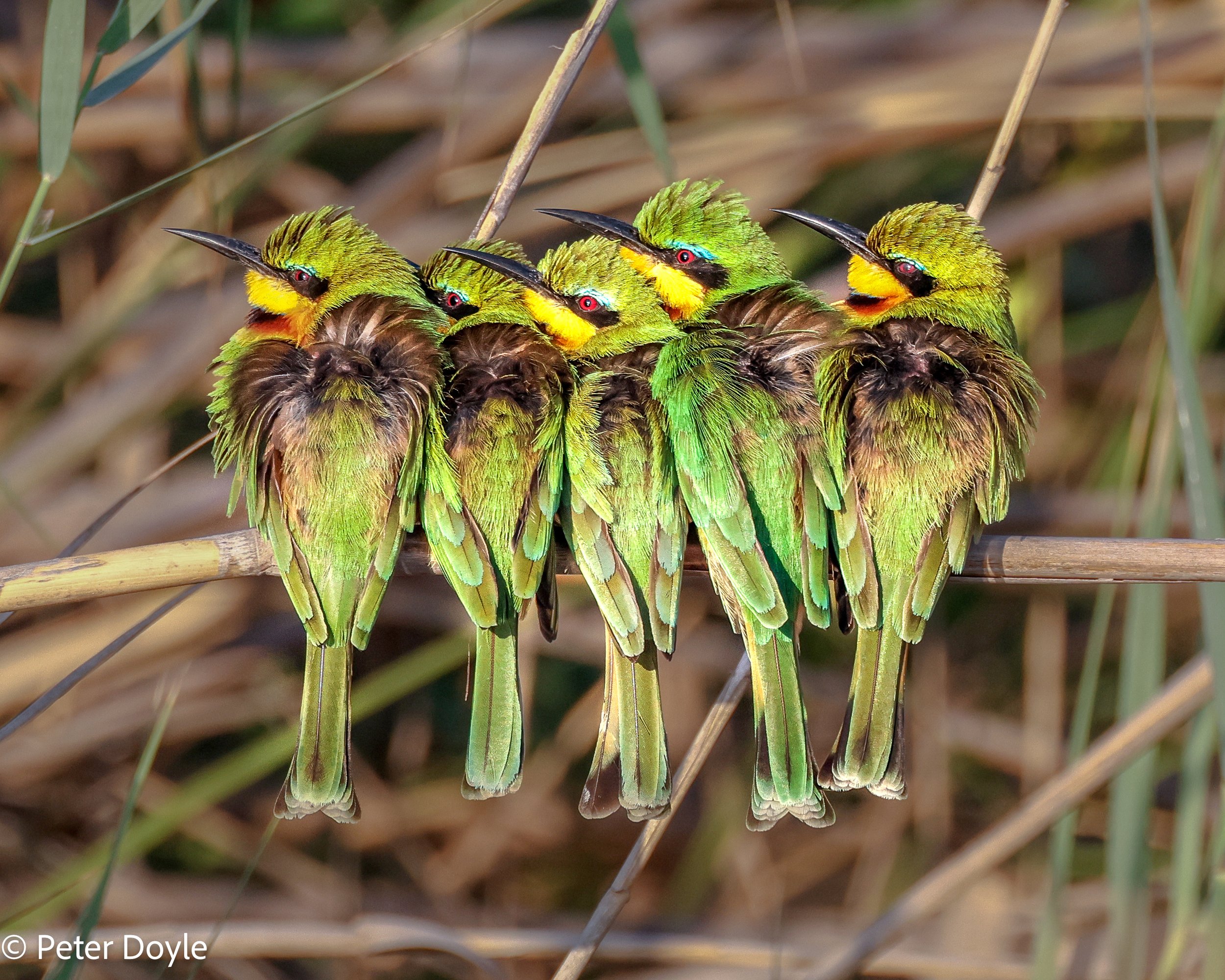
Little Bee-eater (Merops pusillus)
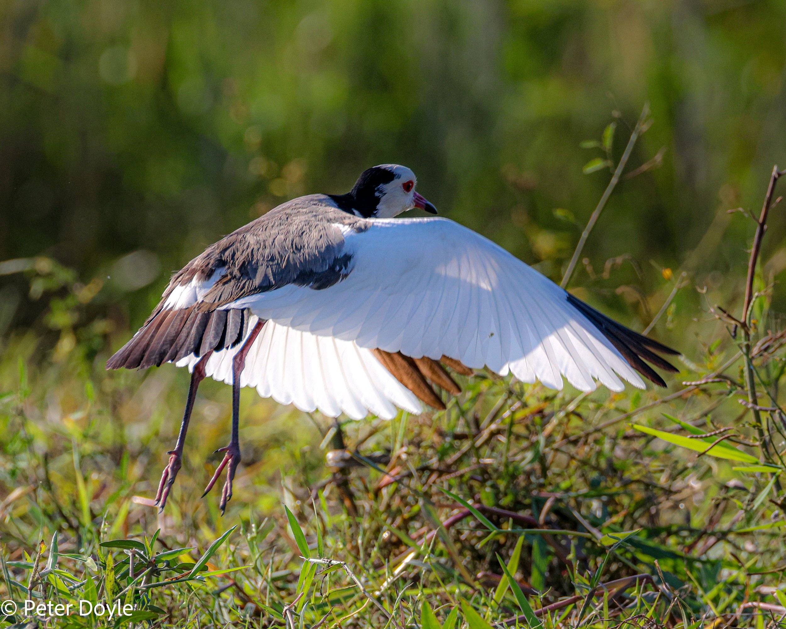
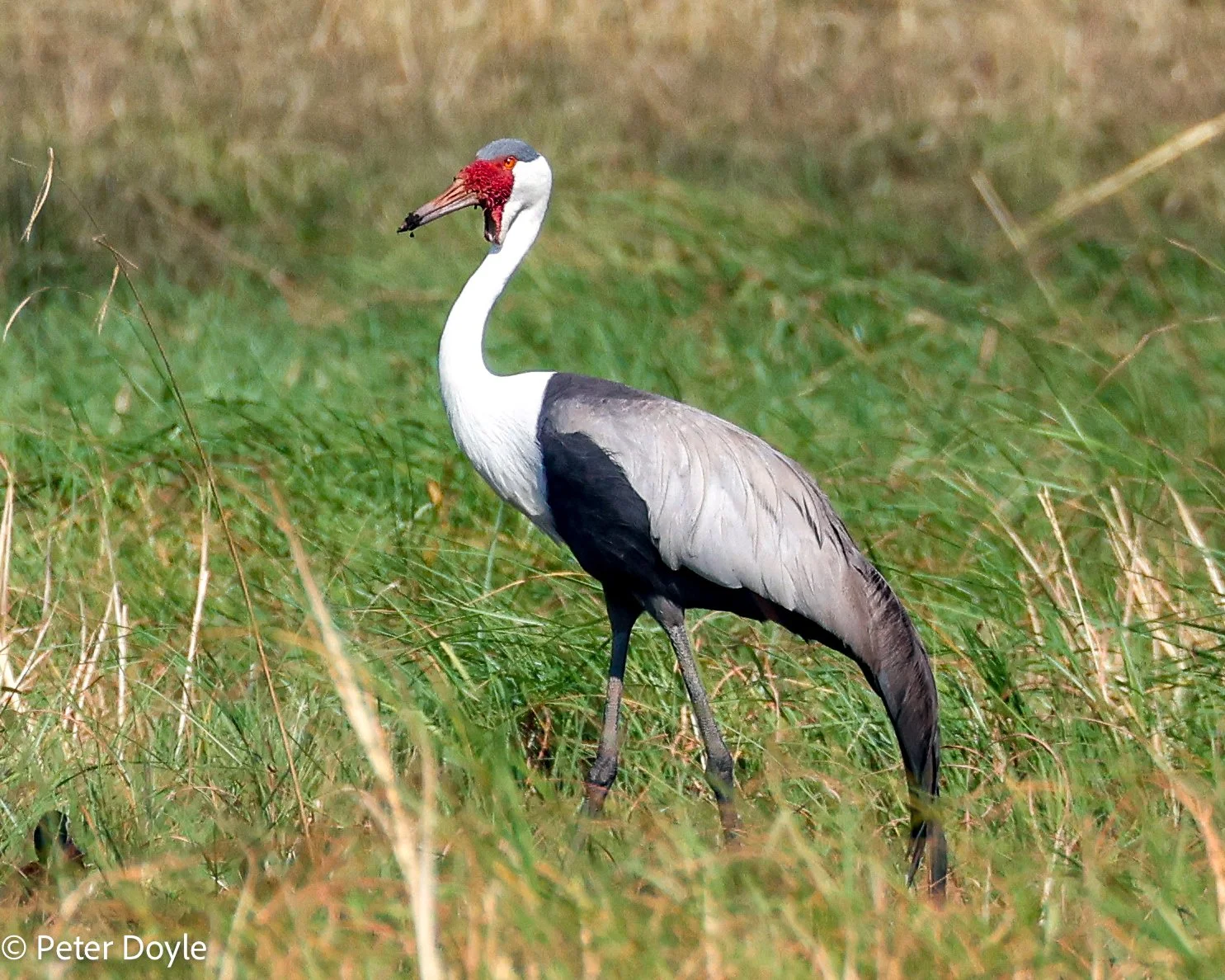
L to R: Long-toed Lapwing (Vanellus crassirostris) Wattled Crane (Grus carunculata)
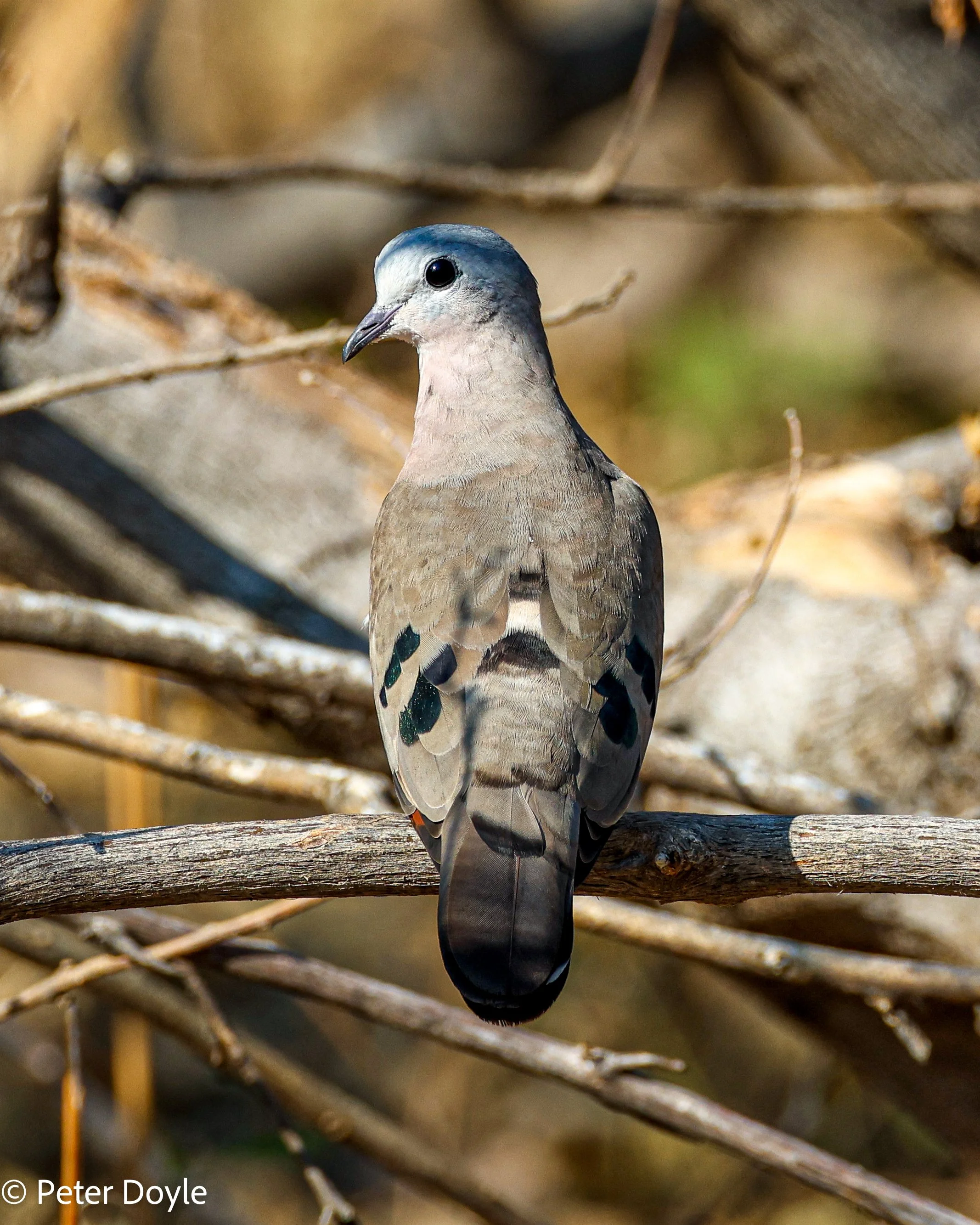
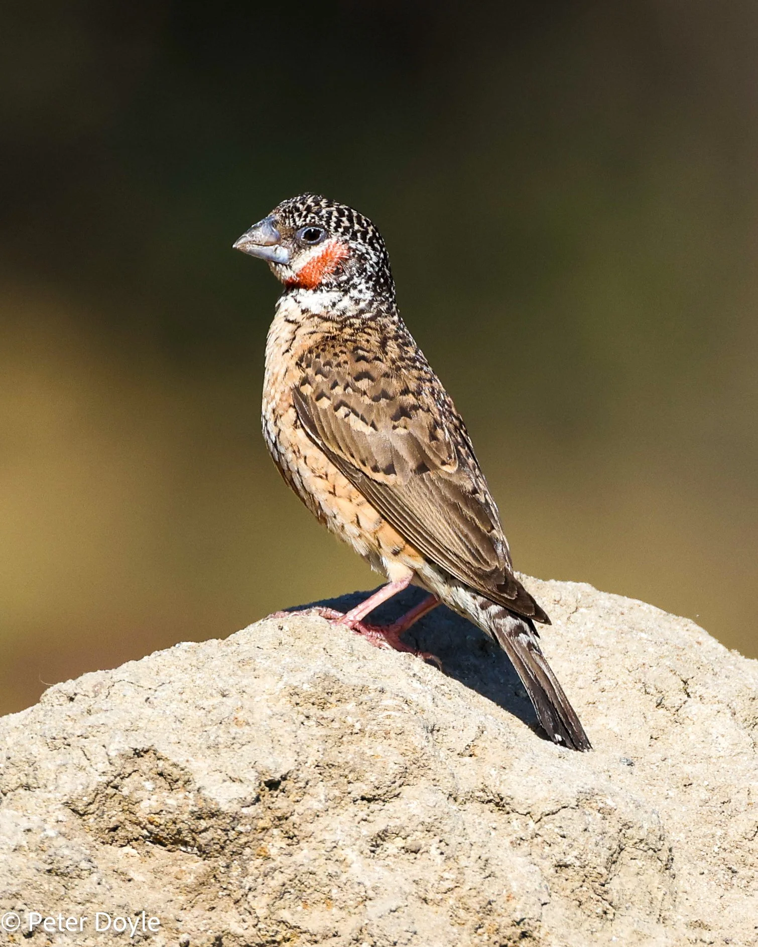
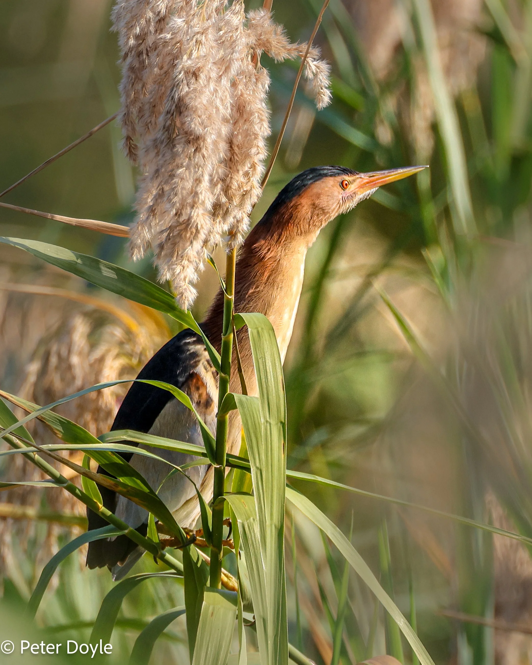
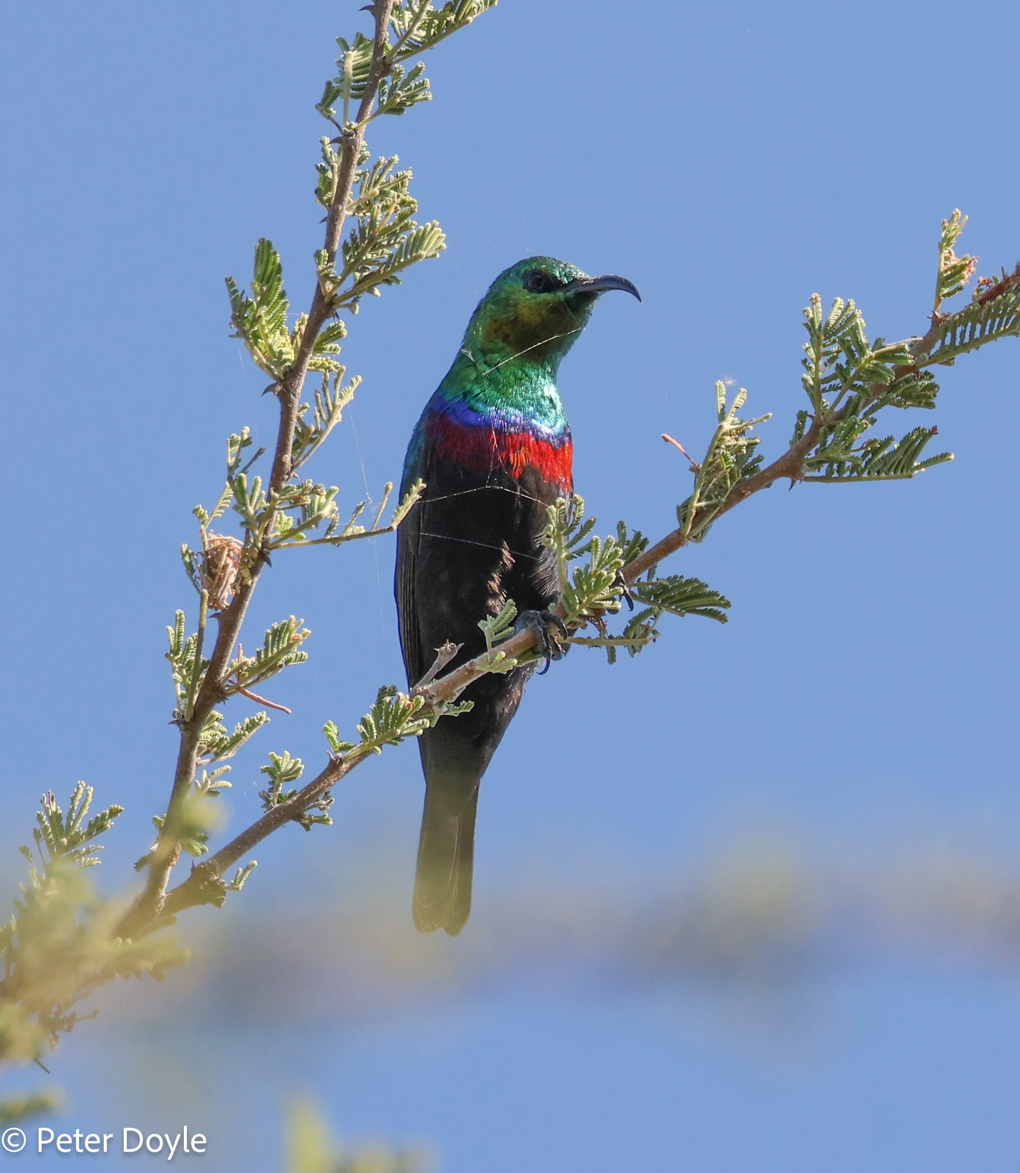
Clockwise from top left: Emerald-spotted Wood Dove (Turtur chalcospilos) Cut-throat Finch (Amadina fasciata) Shelley’s Sunbird (Cinnyris Chalybeus). Little Bittern (Ixobrychus minutus)
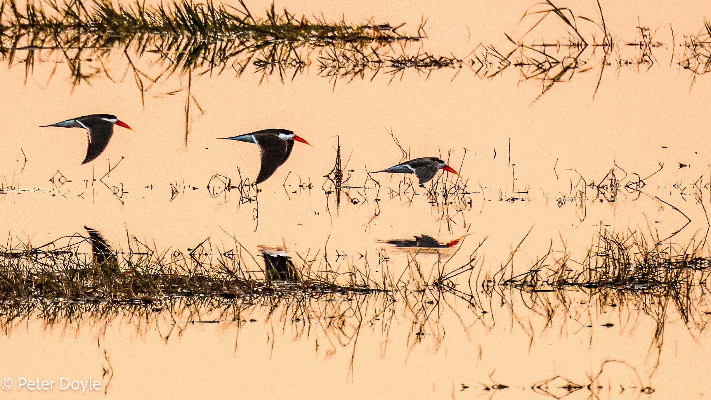
African Skimmers (Rynchops flavirostris) on the Chobe river at sunset.
Reflections on Caprivi
Every day in the Caprivi was a new and memorable birding experience.
We could go again, tomorrow!
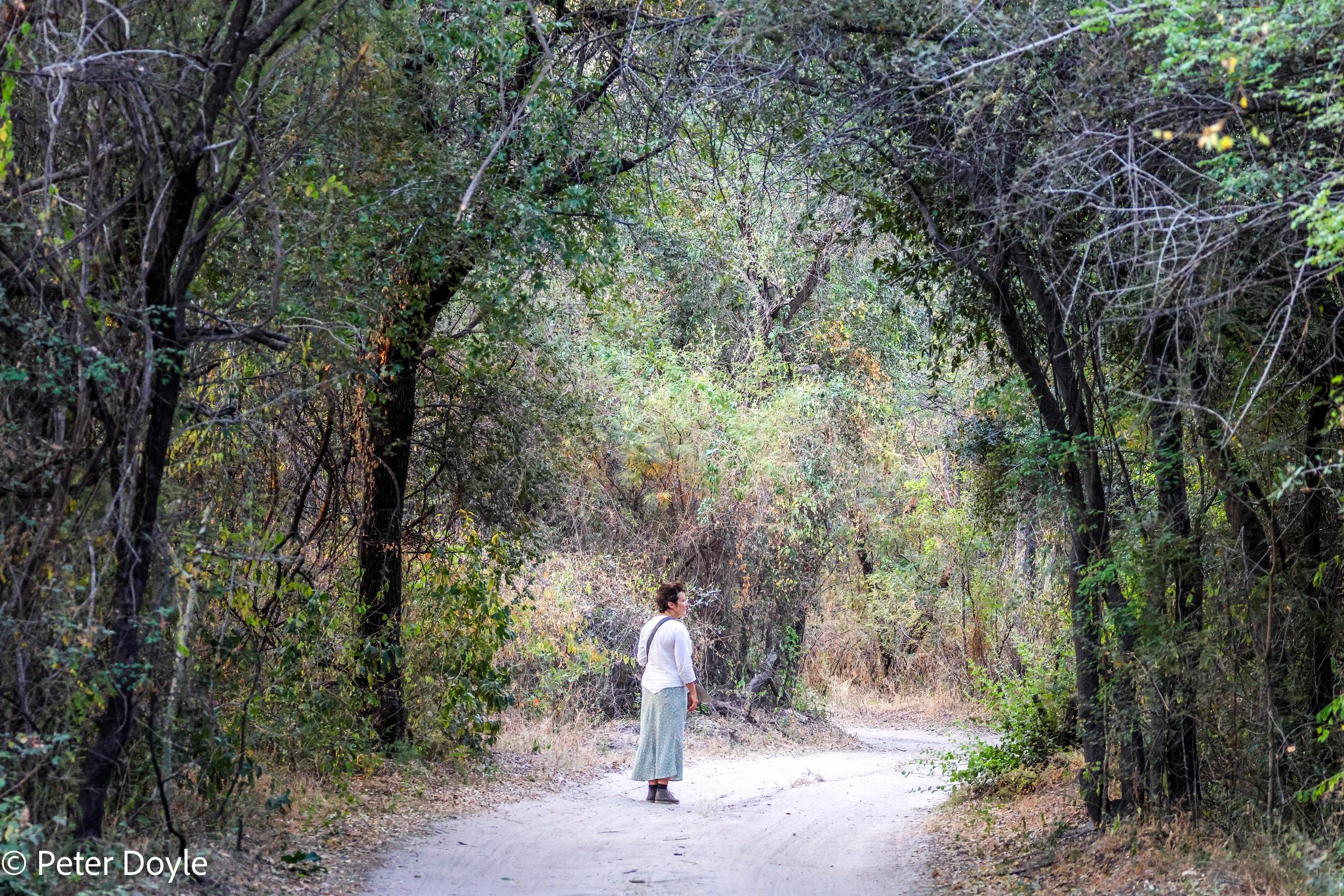
Birding around Mukolo camp, Kwando river.
